
Searching for Ubara Utopia.
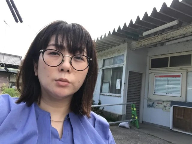
Recently, our Japanese-language reporter Mariko Ohanabatake was in Chiba Prefecture, Tokyo’s neighbor to the east, doing field work for an article. She was all set to head back to Tokyo, but suddenly decided to take a detour to Utopia.
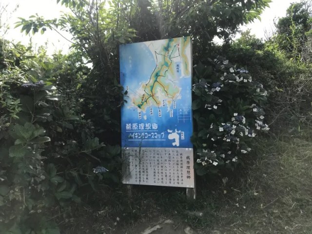
And no, we’re not speaking metaphorically. Utopia was clearly marked on a local tourism map.
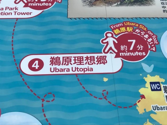
Ubara Utopia, or Ubara Risokyo (risokyo meaning “utopia”), is located in the town of Katsuura, on Chiba’s eastern coast. According to the map, Utopia is just a seven-minute stroll from Ubara Station. Mysteriously, the map didn’t say what exactly Mariko could expect to find at this promised paradise, so she was going to have to hop on a Sotobo Line train to go check it out for herself.
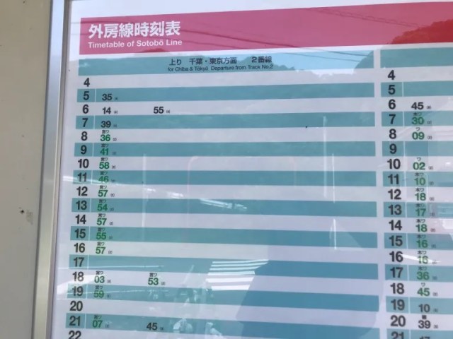
Trains are few and far between on this line, usually with only one per hour. When Mariko’s got to Ubara Station, she was the only one who got off there, and there wasn’t another soul to be seen on the platform…
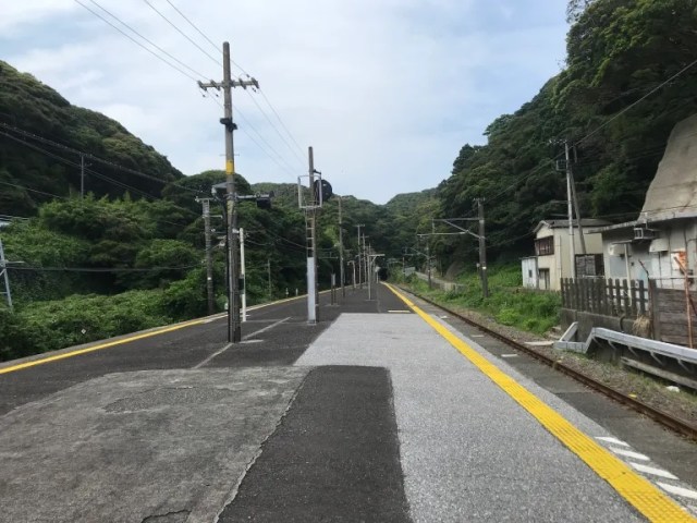
…inside the passenger waiting room…
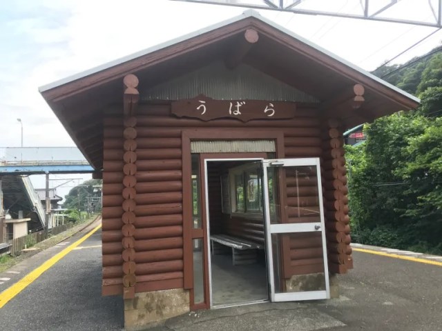
…or even at the ticket gate, since the station is unstaffed.
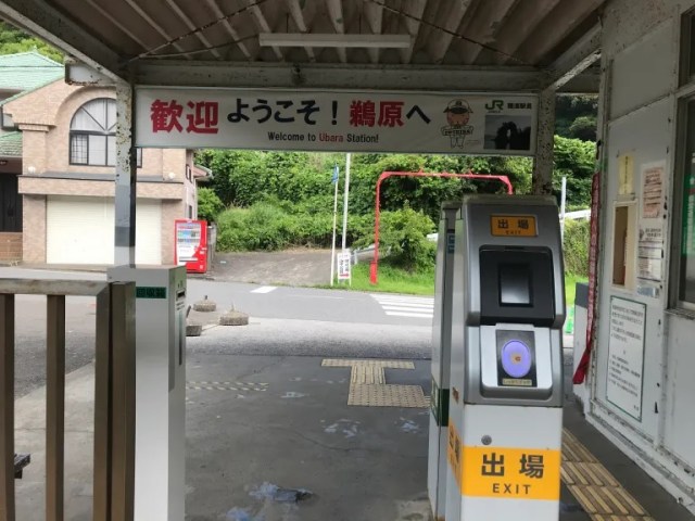
Mariko tapped her IC card against the terminal to complete the payment for her fare, and as she stepped out into the street, she was still completely alone, and starting to get a little unnerved.
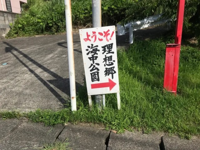
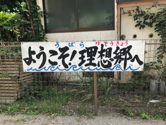
She quickly spotted a sign with an arrow pointing in the direction of Utopia (理想郷), but the blood-red color of its “Welcome!” (ようこそ!) text also seemed somehow sinister.
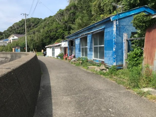
Following the arrow, Mariko began walking down the road, but aside from a very small number of people she passed by, the place felt deserted.
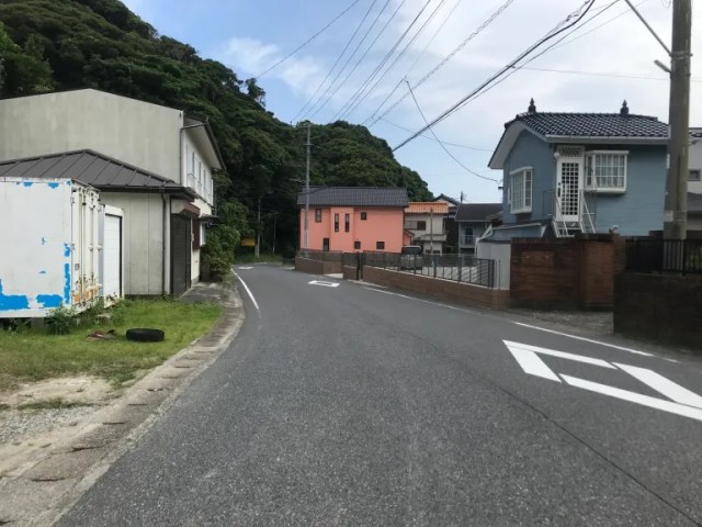
▼ Walking route from Ubara Station to Ubara Utopia
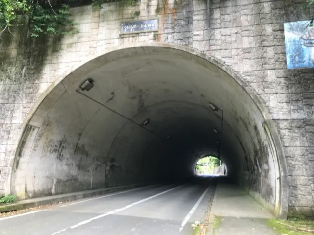
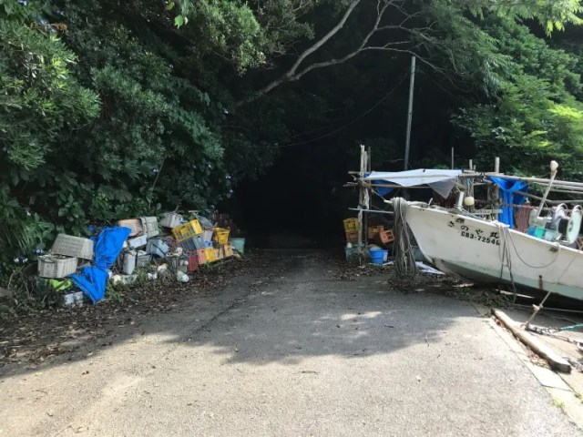
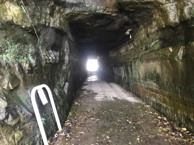
The isolated atmosphere was feeling creepy now, and Mariko felt her steps slow, then stop, as she approached a tunnel she was supposed to pass through on her way to Utopia.
▼ Do…do people who walk through this tunnel never return?
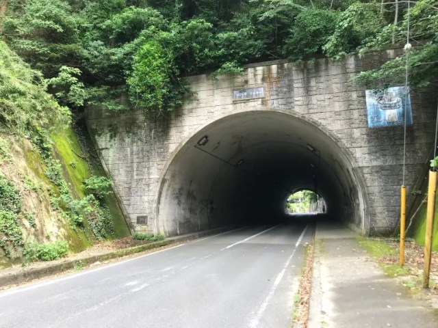
Mariko took a deep breath to try to calm her nerves. Just as she was about to force herself to take a determined step forward, though, a shipping truck came barreling by with its cargo rattling. Startled and freaked out, Mariko pulled up Google Maps on her phone to see if there was an alternate route she could take to Utopia without going through this tunnel, and when she found one, she decided to follow it instead.
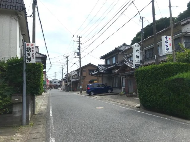
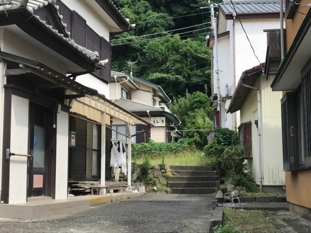
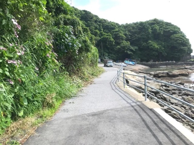
This route took Mariko through a neighborhood with houses and ryokan inns. With a few more reassuring signs of nearby life, Mariko breathed a sigh of relief and could appreciate the quaint architecture and lush greenery.
Eventually the road went up a small rise…
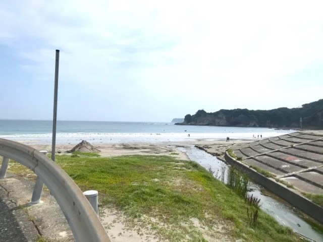
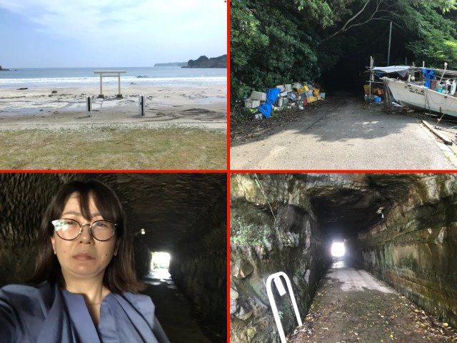
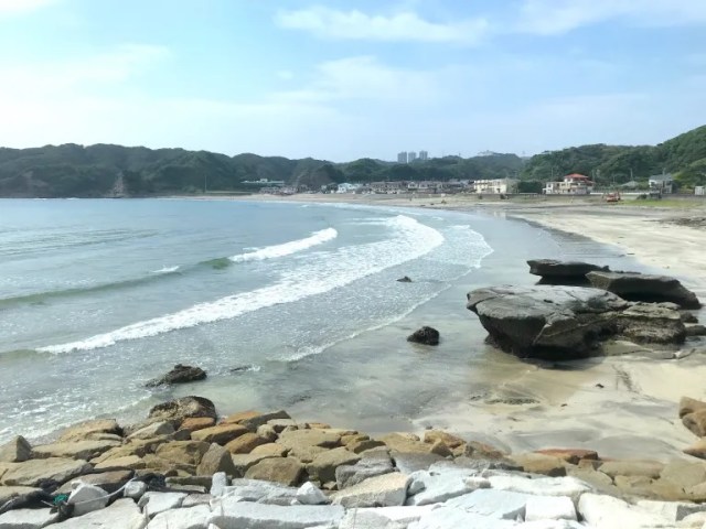
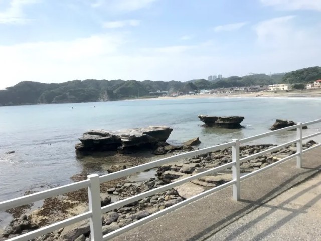
…and Mariko was presented with a beautiful view of a sandy beach, the sea, and the blue sky.
There was even a touch of divinity in the form of a Shinto torii gate, painted white, standing on the beach.
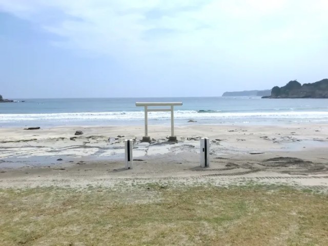
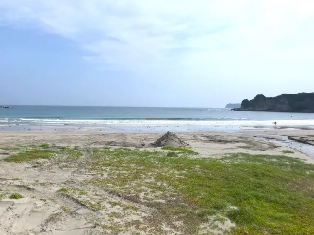
As pretty as it is, though, this stretch of the seashore isn’t Ubara Utopia. This is Moriya Beach, which has been voted one of Japan’s 100 most beautiful shorelines.
Ubara Utopia, meanwhile, is farther down the road, Google Maps indicated. So Mariko kept walking…
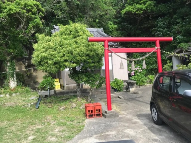
…passed by another torii gate…
…and then…
…the road just, kind of, stopped.
Now Mariko was very confused, because according to Google Maps, she hadn’t yet reached Utopia.
She turned around to look back and see if she’d missed a turn-off somewhere along the way, but instead actually spotted another person, an elderly man who looked to be a local fisherman.
“Excuse me, which way is Utopia?” she asked him. “Just keep going the same way you were,” he told her. “Didn’t you see the tunnel? Utopia is on the other side.”
Sure enough, when Mariko walked back to where she thought the road had ended…
…she could see a shadowy tunnel.
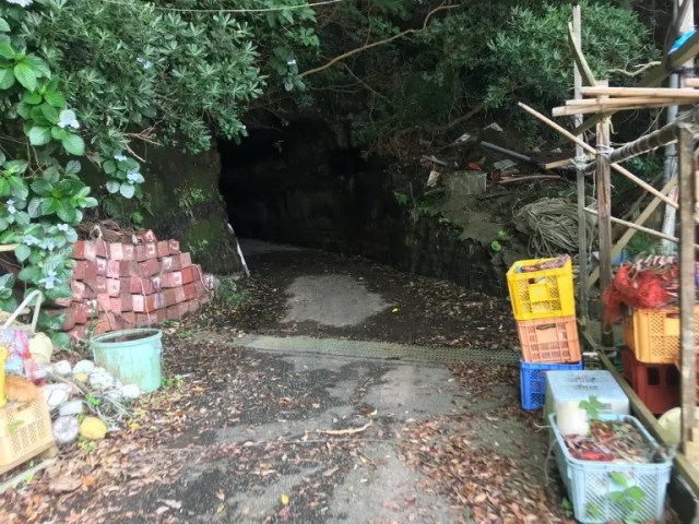
Small, dark, and damp, this tunnel creeped Mariko out even more than the one she’d gone out of her way to avoid earlier. This time around, there was no other way to progress, so stepped inside.
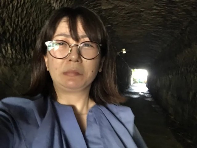
Jaw clenched as she moved forward, Mariko approached the light at the end of the tunnel…
…and stepped out into Utopia.
“Welcome to Ubara Utopia!” the cheery sign greeted her, and it was now that Mariko finally learned that Ubara Utopia is…
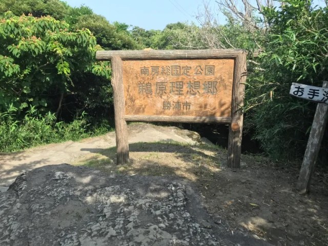
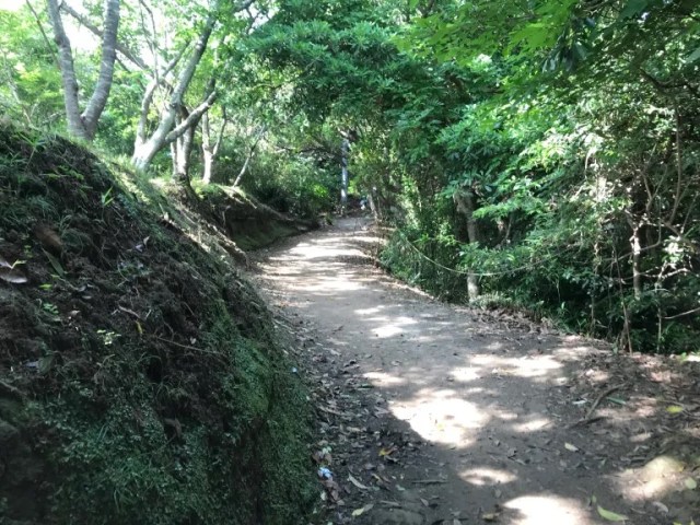
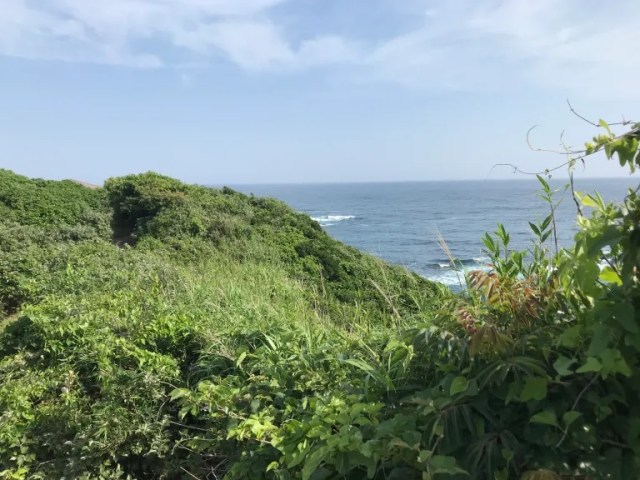
…a hiking trail inside Minami Boso Quasi-National Park.
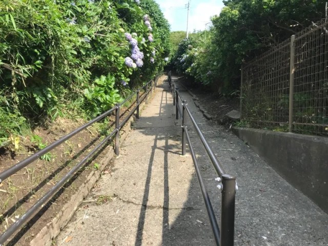
The paved road quickly turns to gravel, and that turns to dirt paths and stone steps, and it was still early enough in the summer for Mariko to see some pretty hydrangeas along the route.

So why is this place “Utopia?” Likely because the trail splits off into a number of different branches, which each lead to different scenic outlooks to the sea and surrounding coastline.
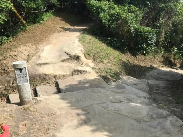
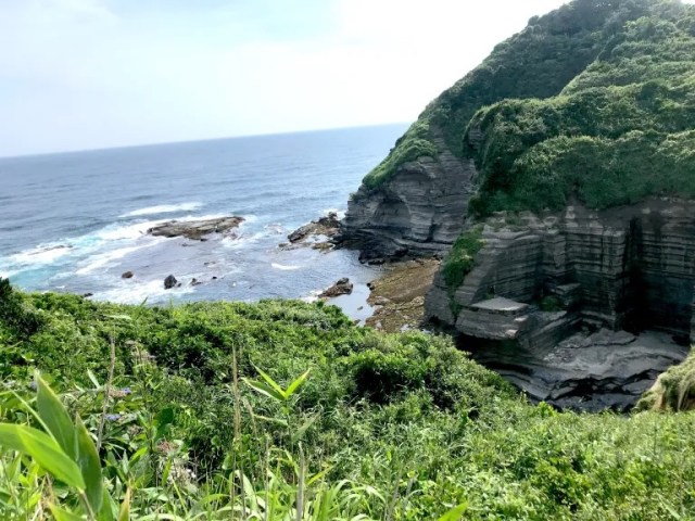
As we mentioned above, Mariko was making her visit to Utopia on her way home from a different appointment in Chiba earlier that day. She’d gotten a late start to her hike, and was actually lugging her laptop too, so she decided to just hit the nearest point of interest on the trail, the beautiful Kedo Misaki (Cape Kedo).
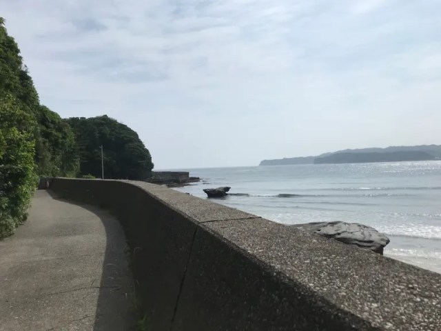
With trains being so infrequent on the Sotobo Line back to Tokyo, she decided to cut her hike short on this day, but she did get a bonus view of Moriya Beach on the way back to the station…
…and now that she knows how to find Utopia, she can go back and explore the rest of it whenever she feels like it.
Related: Ubara Utopia website
Photos © SoraNews24
● Want to hear about SoraNews24’s latest articles as soon as they’re published? Follow us on Facebook and Twitter!
[ Read in Japanese ]
 Beautifully off the beaten path in Nara with the Shimo no Negimichi shrine trail【Photos】
 A secluded British mansion in Chiba is a hidden holy land for afternoon tea lovers
 Off the beaten Japan travel path in Amami Oshima’s mangrove forests【Photos】
 This crazy wearable cushion is Japan’s truly hottest winter fashion【Photos】
 7-Eleven Japan’s new Uji Matcha Bavarois keeps an old sweets store’s tradition alive
 Japan reportedly adding Japanese language skill requirement to most common foreigner work visa
 Man bites woman at cherry blossom park in Japan, dies shortly after
 New 7-Eleven sandwich goes viral in Japan, but is it everything it’s cracked up to be?
 7-Eleven Japan’s new baked-in-store sweet treat is only available in three parts of the country
 Peanuts and Coke becomes a viral hit in Japan, but is it a trend worth joining?
 Create a tiny Ghibli anime world on your bookshelf with new miniature papercraft art kits
 Pokémon Lapras appears on streets, in lakes of Miyagi as part of new tourism ambassador role
 One Piece creator has hidden secret of anime treasure’s identity in chest at bottom of real-world ocean
 McDonald’s Japan adds new Hello Kitty and Pompompurin drinks to the menu for a limited time
 Pokémon and Ikea Japan cross over into each other’s worlds with collaboration events
 Pokémon lacquerware series expands for Year of the Horse with new handcrafted design[Video]
 Starbucks Japan closing only Shinkansen platform branch for popularity-triggered renovations
 Two food hacks take Japan’s convenience store fried chicken to amazing new sandwich heights
 Tokyo’s best museum for foreign travelers finally reopens after being closed for four years
 Totoro Fund line of beautiful artwork and apparel lets you help the real-world Totoro Forest
 Fading Tokyo – Searching for signs of the Showa era as local neighborhoods evolve[Photos]
 You can assemble a well-balanced team of Pokémon, them eat them, thanks to Japanese cake chain
 Tokyo turns its phone booths into free Wi-Fi hotspots, and here’s how to use them
 Japan now has a special desk for people who work at home with a pet cat[Photos]
 Famous Tokyo cherry blossom spot installs view-blocking screens to fight overcrowding[Video]
 Uniqlo announces new T-shirts for One Piece, Naruto and more for manga publisher’s 100th birthday
 Train station platform ramen store closes its doors on half a century of history in Tokyo
 Starbucks Japan releases new My Fruit³ Frappuccino at only 34 stores around the country
 Studio Ghibli releases Catbus pullback keychain that runs like the anime character
 Krispy Kreme releases Super Mario doughnuts in Japan for a limited time
 Japanese onsen egg maker from 100-yen store Daiso needs to be on your shopping list
 Nine great places to see spring flowers in Japan, as chosen by travelers (with almost no sakura)
 Survey asks foreign tourists what bothered them in Japan, more than half gave same answer
 Japan’s human washing machines will go on sale to general public, demos to be held in Tokyo
 Starbucks Japan releases new drinkware and goods for Valentine’s Day
 We deeply regret going into this tunnel on our walk in the mountains of Japan
 Studio Ghibli releases Kodama forest spirits from Princess Mononoke to light up your home
 Starbucks Japan releases new sakura goods and drinkware for cherry blossom season 2026
 Japan’s newest Shinkansen has no seats…or passengers [Video]
 Major Japanese hotel chain says reservations via overseas booking sites may not be valid
 Put sesame oil in your coffee? Japanese maker says it’s the best way to start your day【Taste test】
 No more using real katana for tourism activities, Japan’s National Police Agency says
 Cruising around Gunkanjima, Japan’s otherworldly “Battleship Island”【Photos】
 A crash course in Japanese folktales from a trip to the five Taro Parks of Gifu【Photos】
 We visit one of the last rooftop amusement parks in Japan and feel like we stepped back in time
 Travel off the beaten path to a secret spot in Japan where bamboo grows wild on an old train line
 A trip to see the breathtaking mountain beauty of Nagano’s Kamikochi【Part 1】
 Searching for Japan’s “river of the dead” in Tottori Prefecture【Photos】
 Our search for the coldest place in Tokyo to escape Japan’s heat wave takes us below the earth【Pics】
 A trip to see the breathtaking mountain beauty of Nagano’s Kamikochi【Part 2】
 A daytime visit to Tokyo’s “station of despair” to look for demon lairs【Photos】
 Should you get up early to see the sakura cherry blossoms in Tokyo?
 We become some of the last visitors to see a beautiful museum-ryokan on the outskirts of Tokyo
 Japan creates public monument to original doge meme dog in her home prefecture【Photos】
 We retreat for a day of rejuvenation at Green Hill Yatsugatake recreation facility in Yamanashi
 Japanese hand-dug tunnels on a bamboo forest trail are like a quest in a video game
 There’s a park inside Japan where you can also see Japan inside the park
 Three beautiful outside-the-cities places to visit in Hokkaido with a connection to Golden Kamuy