Google Maps
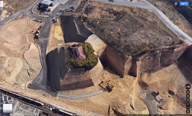
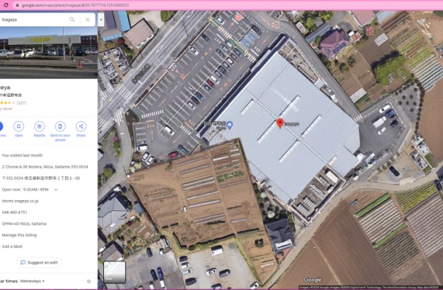
Rumors are flying around the web that the weird layout is due to land disputes or financial drama, but we went to Saitama to get the real scoop.
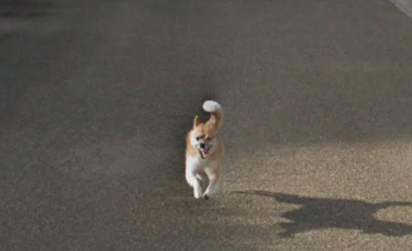
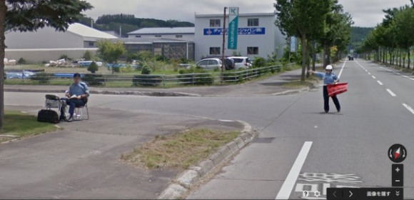
Japanese social media users fall in love as dog chases down Google Street View car many times its size.
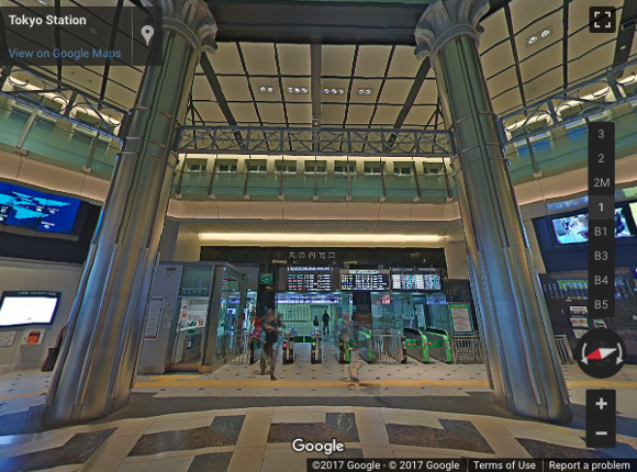
Come with us as we take you through some of the interesting things you can discover inside one of the country’s most historic stations and the busiest train station in the world.
Sometimes we get so attached to the voices on our electronic devices that we’d do anything to get them back.
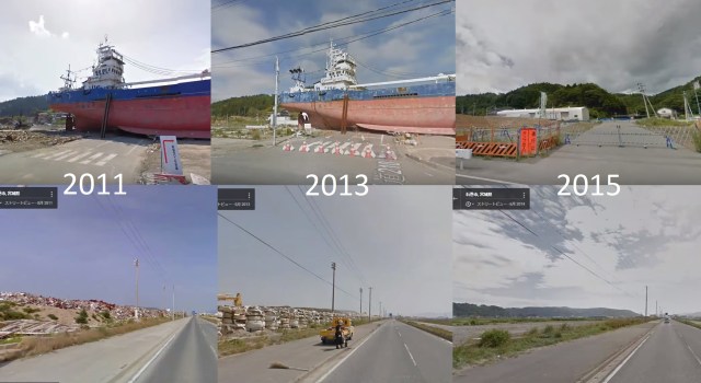
Google Maps gives the world an opportunity to see how far the people of Tohoku have come since a 9.0 magnitude earthquake and tsunami turned their lives upside-down.
You may remember Google’s April Fools’ challenge last year, since it was pretty epic. If you missed it, Google came out with a game where you could search for Pokemon on the Google Maps app on your mobile device. It got rave reviews and it’s such a shame that it was only available for a limited time.
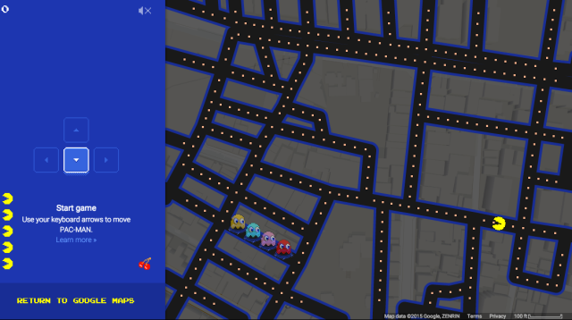
This year, Google is reaching out to a slightly older generation of video game lovers, letting us play Pac-Man on real streets of Google Maps!! Of course, being Google and April Fools’ Day, there is a catch, but more or less, you can transform neighborhoods into Pac-Man game screens.
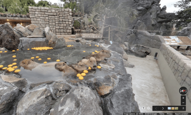
Almost everyone loves soaking in an outdoor hot spring bath, called rotenburo in Japanese. The combination of soothing natural mineral water and being buck naked outside is enough to wash all your stress away. Just look at those little capybara in the photo above. Don’t they look so relaxed?
If you ever have the chance to visit Japan, we highly recommend you take a dip in a rotenburo. But if you aren’t able to make the long journey over to this wonderful country right away, might we suggest taking a virtual tour of six outdoor hot springs in Japan?
Google Maps has been a great boon to me in my time in Japan. In fact, GPS maps were the biggest reason I got my first smartphone in 2009, followed closely by the ability to write unfamiliar kanji by hand into a dictionary I’d always have with me. But Google Maps was definitely the biggest draw.
In the interceding six years, Google Maps has grown from something useful to something indispensable to many people. It’s not just good for helping you find a tiny store in Shibuya, either, since the maps can open up a whole world of digital sightseeing for people. And where there are bored people on computers, there are also bound to be Easter Eggs and creepy pranks to be discovered.
On Wednesday of last week, the city of Hiroshima marked the 69th anniversary of the atomic bombing. When the bomb detonated in the air above Hiroshima on August 6, 1945, it destroyed the city and killed up to 140,000 people. Almost everything in a one-mile radius of the target site was immediately razed to the ground. On August 9, a second bomb was dropped on Nagasaki, killing a further estimated 70,000.
Hiroshima was chosen as the primary target for a number of reasons. The US wanted a target city with an urban area of at least three miles diameter. It also had to have been untouched by other air raids, so that the weapon’s impact could be accurately observed. Hiroshima was also thought to be the only potential target city that did not have any Allied prisoner-of-war camps.
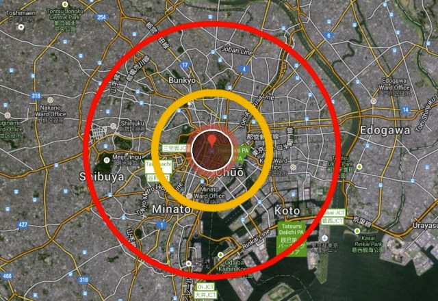
But what if the A-bomb had been detonated over Tokyo instead? Or Osaka? Using statistics collated by Dr. Mark A. Carlson at the University of Nebraska, the Japanese Huffington Post has produced this interactive Google map answering just that question.
Tanuki, also known as Japanese raccoon dogs, hold a special place in Japanese culture. Often the center of folktales for their large testicles, magical abilities, and easygoing attitude, you can see them depicted in works of art all over the country.
However, now the tanuki is threatened. Not the actual animal, but a cake created in its image known as the tanuki cake. For many middle-aged Japanese people the mention of such a treat would awaken fond childhood memories. Despite this, the tanuki cake population in Japan has plummeted in recent years to the point of being critically endangered.
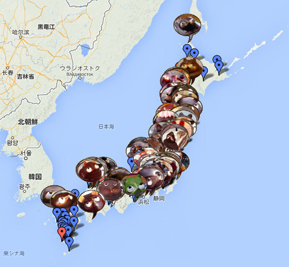
That’s why the website Tanuki Cake No Aru Toko Meguri has established the National Tanuki Cake Habitat Map, so that we may monitor and perhaps conserve these noble animal-shaped cakes.
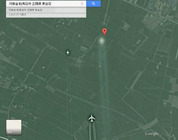
Back in September 2011, there were widespread flight cancellations across China that were blamed on inclement weather. It was an unusually large disruption to the air traffic across a large country, so some took to the net to ask “What was really going on?” One theory that arose was that the nation’s airspace had been shut down because the People’s Liberation Army (PLA) Air Force was engaging UFOs.
Over time, however, the rumors subsided and became the stuff that urban legends are made of. Until now, that is, as a discovery on Google Map’s satellite images has turned up what appears to be two planes following a rapidly moving, blurry white object. It’s an image that many are theorizing to be that legendary close encounter.
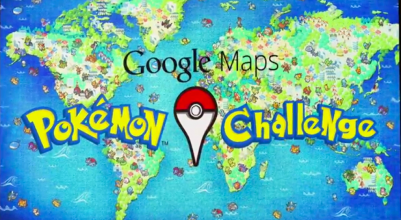
As you might expect, Google is up to its usual pranks in honor of April Fools’ Day, but this time, they’ve created something that’s actually playable that allows any Google Maps user to be the very best, like no one ever was.
The Google Maps Pokemon Challenge was announced in the form of an awesome YouTube video, with specific details on how to gain the coveted title of any 90s kid: Pokémon Master. Brian McClendon, Vice President of Google Maps, explains, “Now using the technology created by the Google Maps team, we’ve prepared the most rigorous test known to man to find the world’s best Pokémon Master.”
But this year, Google has one extra trick up their sleeve, allowing anyone to actually catch Pokémon on Google Maps.


 Starbucks Japan releases new sakura goods and drinkware for cherry blossom season 2026
 New zombie ship sets sail in Japan, includes Shinkansen tickets and all-you-can-eat sushi
 We visit Tomonoura, the scenic harbor town that inspired Studio Ghibli’s “Ponyo”【Photos】
 566 million yen in gold bars donated to Japanese city’s water bureau
 Fermented soybean shaved ice pushes the envelope of summertime sweets
 This 2,264-page manga behemoth is the biggest Japanese comic anthology we’ve ever seen【Photos】
 Young woman-scent body soap and deodorant becomes a hit with lonely Japanese dudes
 The 10 most annoying things foreign tourists do on Japanese trains, according to locals
 Last chance coming up for amazing east Japan for all-you-can-ride Shinkansen-inclusive train pass
 The one and only master of train station packing-tape calligraphy shares his story and inspiration
 Naruto and Converse team up for new line of shinobi sneakers[Photos]
 Starbucks Japan unveils new sakura Frappuccino for cherry blossom season 2026
 Now is the time to visit one of Tokyo’s best off-the-beaten-path plum blossom gardens
 Foreign tourists in Japan will get free Shinkansen tickets to promote regional tourism
 Is Sapporio’s Snow Festival awesome enough to be worth visiting even if you hate the snow? [Pics]
 Japan has trams that say “sorry” while they ride around town…but why?
 Sakura Totoro is here to get spring started early with adorable pouches and plushies
 Poop is in full bloom at the Unko Museums for cherry blossom season
 Japan’s newest Shinkansen has no seats…or passengers [Video]
 Foreigners accounting for over 80 percent of off-course skiers needing rescue in Japan’s Hokkaido
 Super-salty pizza sends six kids to the hospital in Japan, linguistics blamed
 Archfiend Hello Kitty appears as Sanrio launches new team-up with Yu-Gi-Oh【Pics】
 Take a trip to Japan’s Dododo Land, the most irritating place on Earth
 China’s don’t-go-to-Japan warning looks to be affecting tourist crowds on Miyajima
 Survey asks foreign tourists what bothered them in Japan, more than half gave same answer
 Japan’s human washing machines will go on sale to general public, demos to be held in Tokyo
 Starbucks Japan releases new drinkware and goods for Valentine’s Day
 We deeply regret going into this tunnel on our walk in the mountains of Japan
 Studio Ghibli releases Kodama forest spirits from Princess Mononoke to light up your home
 Major Japanese hotel chain says reservations via overseas booking sites may not be valid
 Put sesame oil in your coffee? Japanese maker says it’s the best way to start your day【Taste test】
 No more using real katana for tourism activities, Japan’s National Police Agency says
 This 2,264-page manga behemoth is the biggest Japanese comic anthology we’ve ever seen【Photos】
 Young woman-scent body soap and deodorant becomes a hit with lonely Japanese dudes
 The 10 most annoying things foreign tourists do on Japanese trains, according to locals
 Last chance coming up for amazing east Japan for all-you-can-ride Shinkansen-inclusive train pass
 The one and only master of train station packing-tape calligraphy shares his story and inspiration
 Can’t make it to the Ghibli Museum? Then build your own with this awesome papercraft kit【Photos】
 Shinkansen bullet trains adding semi-private booths on most popular travel route【Pics】